The new shared stormwater systems at Highland Bridge will capture and clean 64 million gallons of runoff annually, preventing an estimated 28 tons of total suspended solids and 147 pounds of phosphorus from entering the Mississippi River each year.
Sustainable Stormwater Management for Highland Bridge
Sustainable stormwater management improves water as it flows through Highland Bridge into Hidden Falls and the Mississippi River. We created a map to show the Sustainable Stormwater Management for Highland Bridge, PDF linked below. The blue arrows on the site map illustrate how water flows to the water features, rain gardens and underground stormwater treatment areas.
Shared Green Infrastructure
The City of Saint Paul and CRWD planned for a comprehensive stormwater management approach and a reimagined Hidden Falls Creek, eliminating the need for individual treatment systems scattered across the site. This method, known as shared, stacked green infrastructure, reduces the overall cost of managing stormwater on the site while adding beauty, wildlife habitat, and recreational opportunities.
Regional Stormwater Treatment
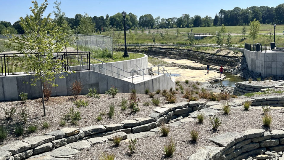
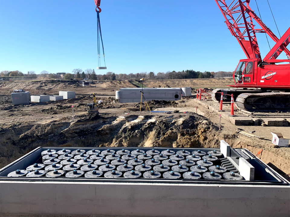
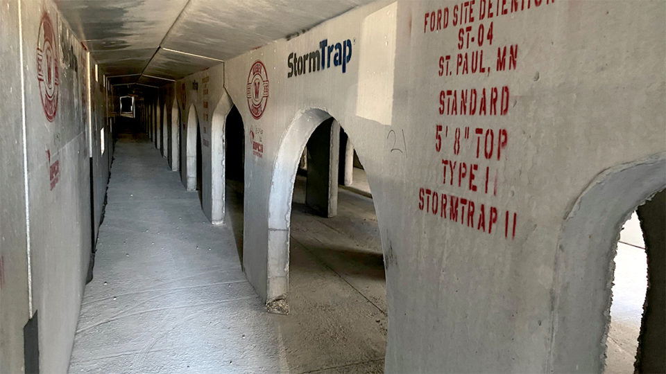
The Highland Bridge community benefits from a shared regional stormwater approach. Several large clean water practices, both at the surface and underground, capture and filter stormwater runoff from the 122-acre site to reuse in the central water feature and Hidden Falls Creek. The stormwater systems include underground storage, filtration chambers, and extensive rain gardens.
Gateway Park in the northwest corner of the site, on the map between Ford Parkway and Bohland Avenue, has large biofiltration basins. The basins look like rain gardens, but below the plants and soil, there are drainage pipes and iron-enhanced sand to remove dissolved phosphorus, a pollutant in the water that fuels algae growth. Iron filings mixed into sand create a bond with phosphorus, removing it from the water before it drains to the Mississippi River. The park will receive water from parts of Mount Curve Boulevard and Bohland Avenue and the surrounding area.
Central Water Feature and Hidden Falls Creek
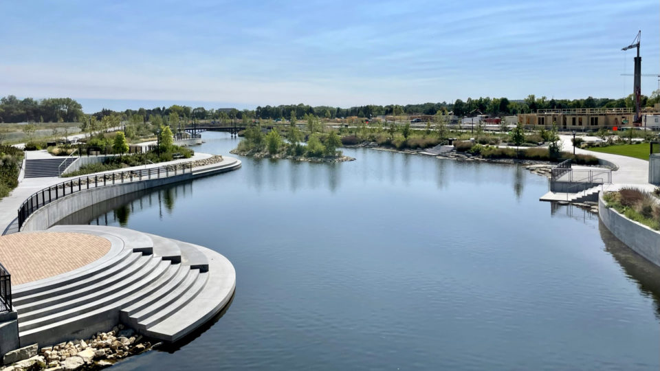
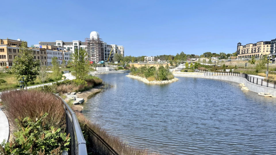
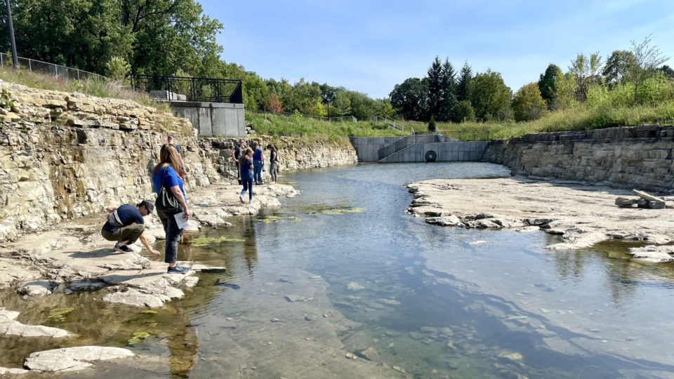
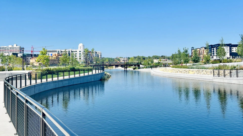
The central water feature receives filtered stormwater before flowing south to the reimagined Hidden Falls Creek. Both offer recreational opportunities for visitors, provide habitat for wildlife, and add beauty to the site.
The central water feature, on the map from Bohland Avenue and running south to Montreal Avenue, receives water from the underground stormwater treatment system and the surrounding site.
Mississippi Boulevard Crossing
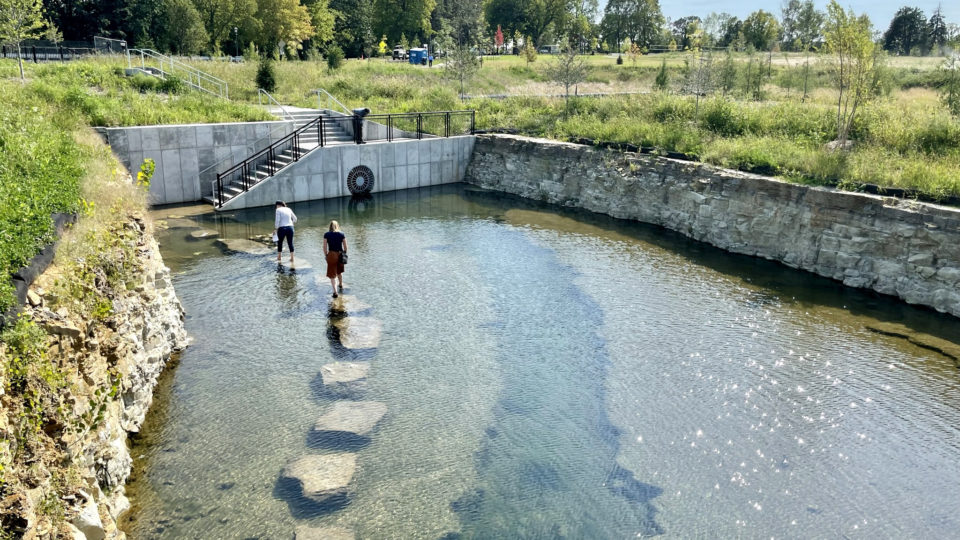
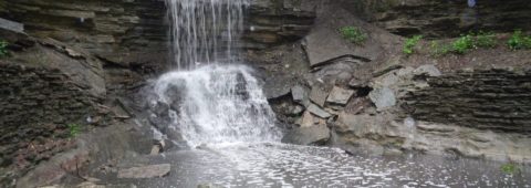
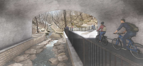
The reimagined Hidden Falls Creek flows to Hidden Falls Regional Park and over the existing Hidden Falls through a 90-foot tunnel underneath Mississippi River Boulevard. Adjacent to the creek, a paved pedestrian and bike path follows the creek through the tunnel and ends at a plaza overlooking Hidden Falls.
On the map, the reimagined Hidden Falls Creek begins south of Montreal Avenue and extends to the new crossing underneath Mississippi River Boulevard. The creek drains water from the central water feature and surrounding rain gardens and landscaping before flowing to its namesake falls and through Hidden Falls Regional Park to the Mississippi River.

